GeoTrek Environmental and Surveying, LLC specializes in providing precise land surveying and bathymetry services tailored to meet the diverse needs of our clients across various industries. Our commitment to accuracy and innovation ensures that clients receive reliable data essential for informed decision-making in your projects.
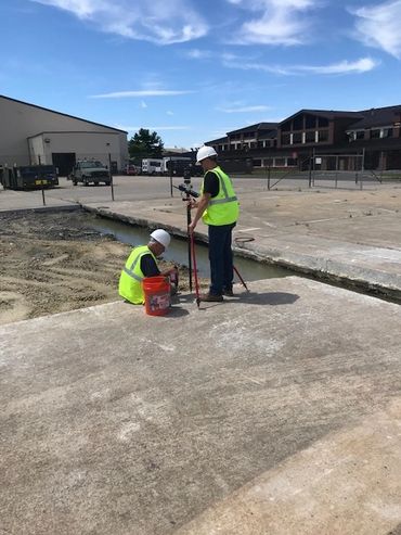
Our land surveying team utilizes advanced technologies, including GPS, total stations, and 3D laser scanning, to deliver detailed topographic maps, boundary surveys, and construction staking. Whether you are embarking on a residential development, infrastructure project, or land acquisition, our experienced surveyors provide the meticulous attention to detail necessary to ensure compliance with local regulations and enhance project efficiency.
In addition to terrestrial surveying, our bathymetry services offer in-depth insights into underwater topography and marine environments. Using state-of-the-art sonar and remote sensing technologies, we collect critical data for projects involving coastal development, environmental monitoring, and marine resource management.